About University Heights
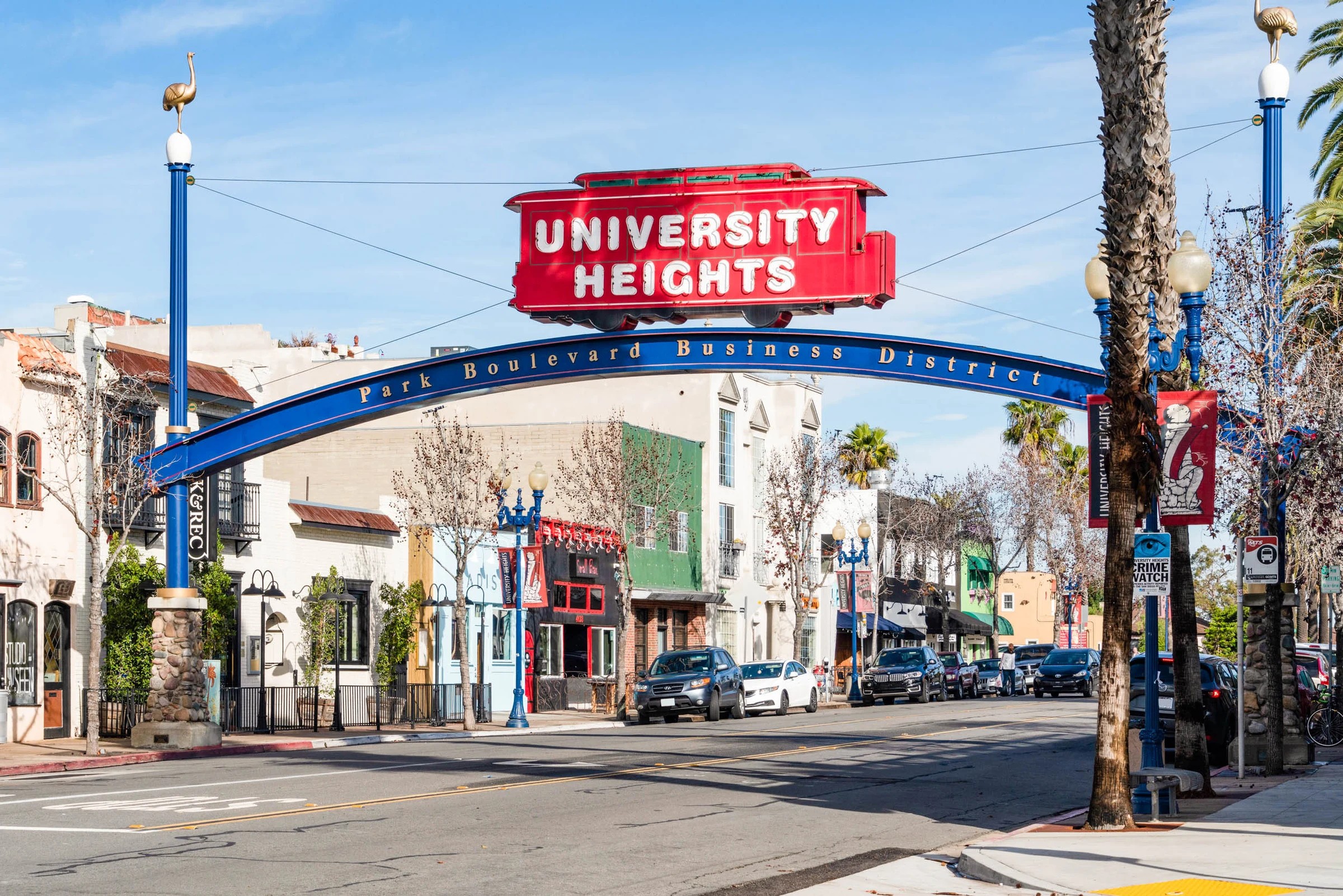
University Heights is a small urban community centrally located between North Park and Hillcrest, and valued by residents for its convenient location, walkability and bikeability, sense of community, restaurants, historic homes, and diversity.
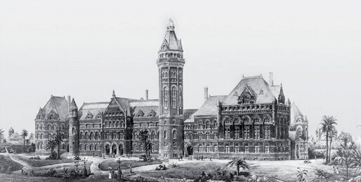
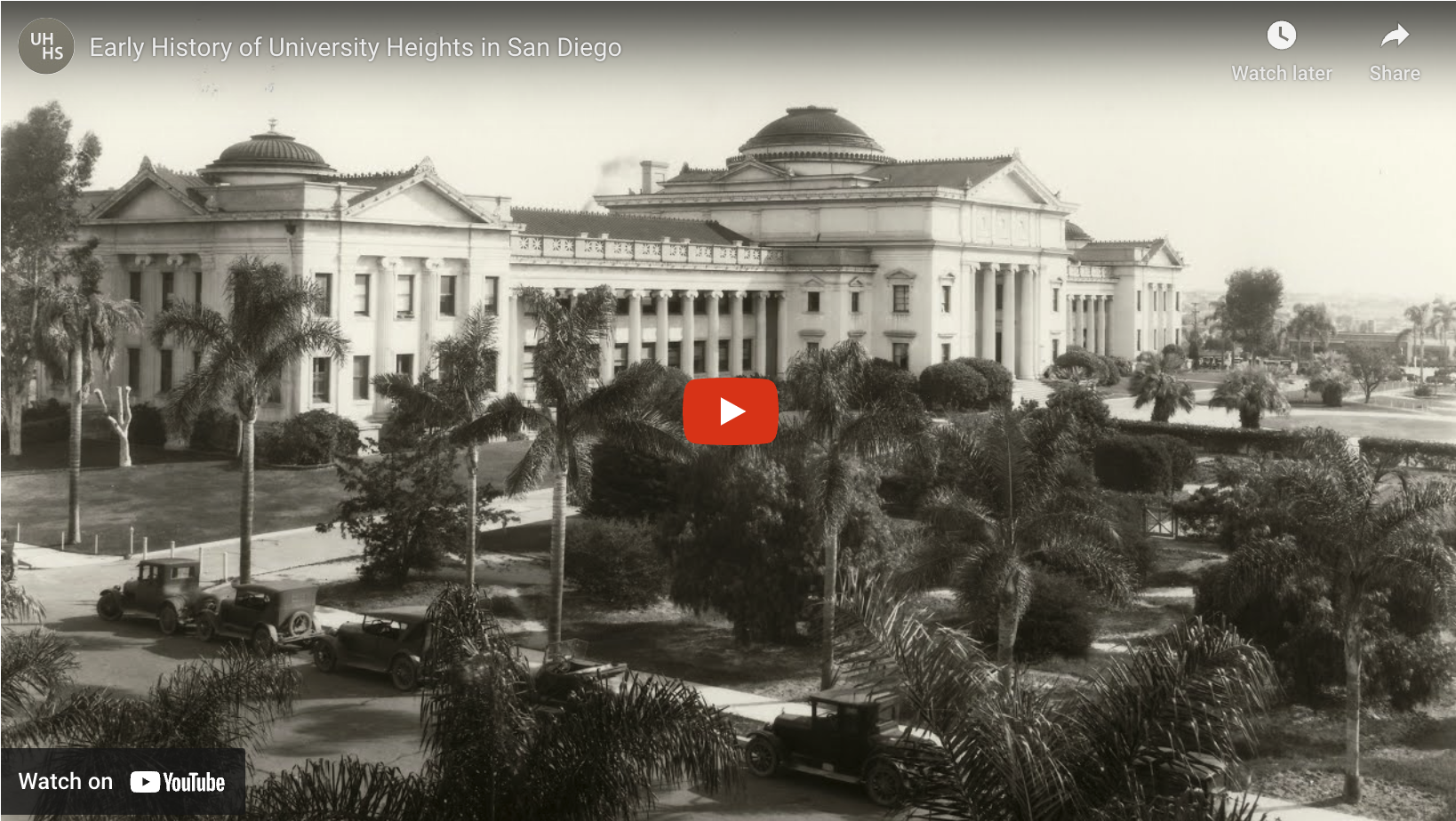
Originally subdivided in 1888, University Heights is one of San Diego’s oldest “inner ring” neighborhoods and home to the former Mission Cliff Gardens, Bentley Ostrich Farm, and the San Diego Normal School, predecessor to San Diego State University.
UH was also situated at the end of the San Diego Electric Railway line which ran along Park Blvd. and brought visitors up from downtown along Park Blvd. As an early “streetcar suburb”, UH attracted a mix of working and middle-class professionals who could easily commute downtown.
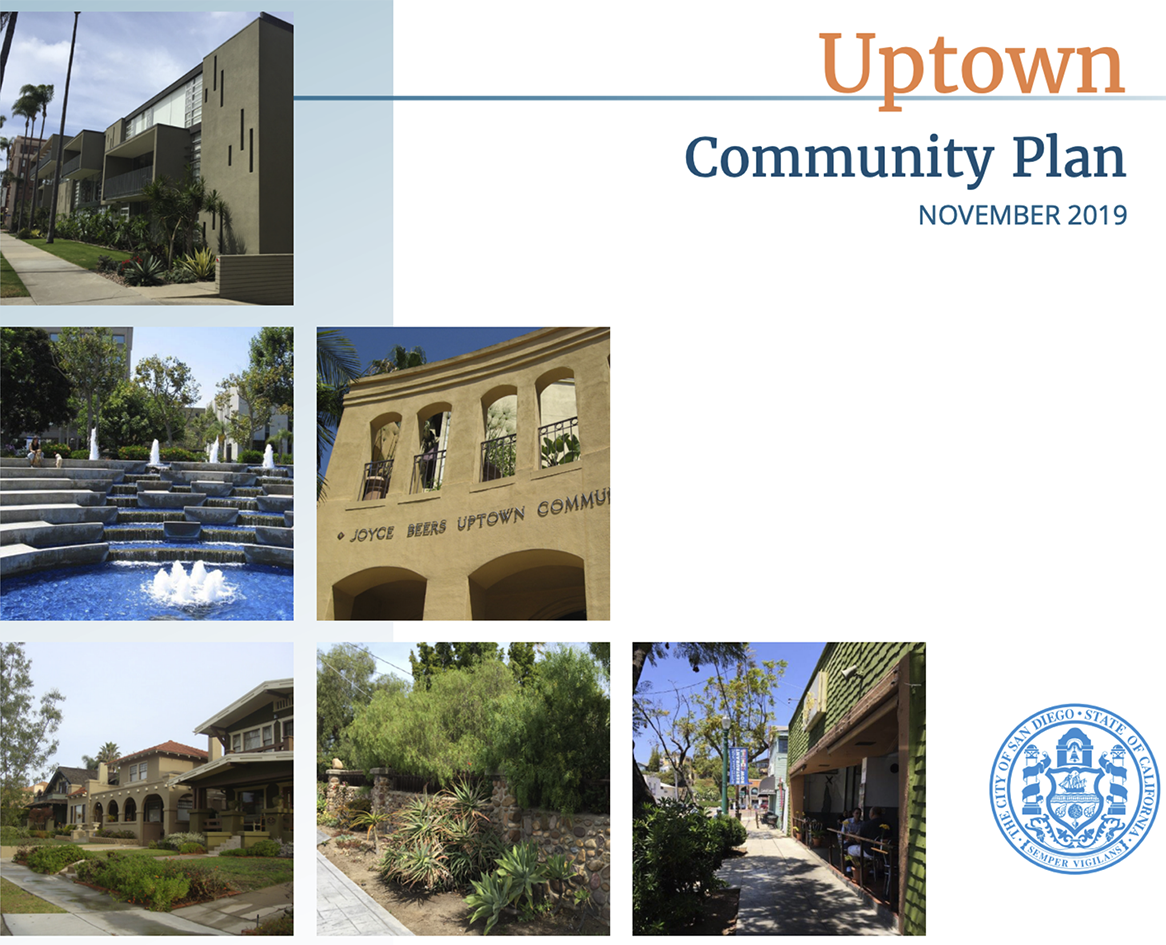
The 1915 Panama-California Exposition spurred further commercial growth along Park Blvd. as well as residential construction including apartments and bungalow courts. From the beginning, UH has offered a variety of housing types including single-family homes, duplexes, bungalow courts, and apartment buildings.
